Open up GoogleEarth and take a look at the earth. Notice that it appears to be 3D but it really is just a different projection. This is an "Orthographic" projection and it is projecting the earth to be the way we would see it from a distance.
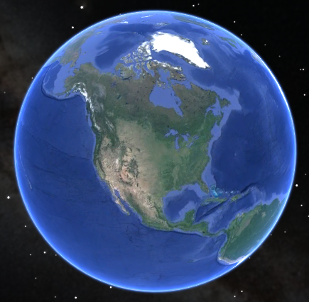
Image from GoogleEarth in Orthographic Projection
We do not use these projections much in spatial analysis because there is distortion in area, distance, and form. However, these are very popular projections for visualizations.
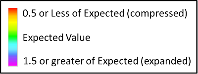
Legend for the following images.
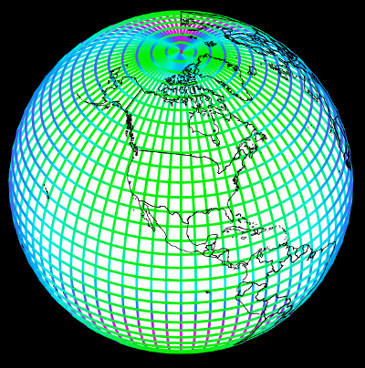
Distance distortion along lines of latitude and longitude.
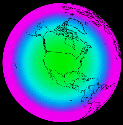
Area distortion.
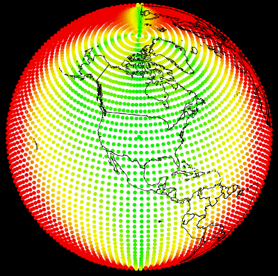
Form distortion measured as deviance from the epxected angles.
© Copyright 2018 HSU - All rights reserved.